चित्र:PeriplusAncientMap.jpg

या झलकेचा आकार: २२० × १७३ पिक्सेल पिक्सेल. इतर resolutions: ३०५ × २४० पिक्सेल | १,५२४ × १,१९८ पिक्सेल.
मूळ संचिका (१,५२४ × १,१९८ पिक्सेल, संचिकेचा आकार: २३९ कि.बा., MIME प्रकार: image/jpeg)
सारांश
| वर्णनPeriplusAncientMap.jpg |
English: Map by Abraham Ortelius, (1527-1598) for the Periplus Maris Erythraei (Περίπλους τὴς Ἐρυθράς Θαλάσσης "Periplus of the Erythraean Sea"), attributed to Arrian. |
|||||||||||||||||||||||
| दिनांक | ||||||||||||||||||||||||
| स्रोत | Plate [162] from: Theatrum orbus terrarum / Abraham Ortelius. Antverpiae: Apud Ioannem Bapt. Vrintium, 1609. | |||||||||||||||||||||||
| लेखक |
creator QS:P170,Q232916 |
|||||||||||||||||||||||


See also:
- http://catalogue.nla.gov.au/Record/3408384/Copyright archive copy at the Wayback Machine
- http://www.orteliusmaps.com/book/ort224.html
परवाना:
|
This is a faithful photographic reproduction of a two-dimensional, public domain work of art. The work of art itself is in the public domain for the following reason:
The official position taken by the Wikimedia Foundation is that "faithful reproductions of two-dimensional public domain works of art are public domain".
This photographic reproduction is therefore also considered to be in the public domain in the United States. In other jurisdictions, re-use of this content may be restricted; see Reuse of PD-Art photographs for details. | |||||


Captions
Add a one-line explanation of what this file represents
संचिकेचा इतिहास
संचिकेची त्यावेळची आवृत्ती बघण्यासाठी त्या दिनांक/वेळेवर टिचकी द्या.
| दिनांक/वेळ | नखुले | आकार | सदस्य | प्रतिक्रीया | |
|---|---|---|---|---|---|
| सद्य | १३:४०, २४ मार्च २००७ | 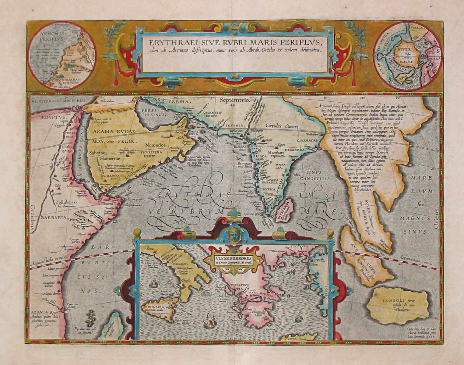 | १,५२४ × १,१९८ (२३९ कि.बा.) | smartcommons>World Imaging | Ancient map (17th century) depicting the locations of the Periplus of the Erythraean Sea. |
संचिका वापर
या चित्राशी जोडलेली पृष्ठे नाहीत.
